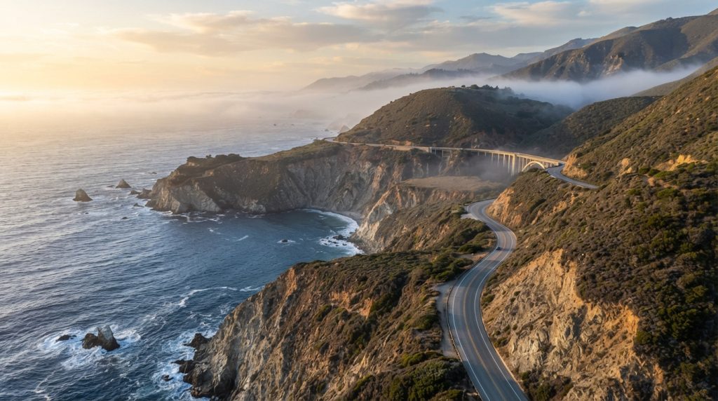
A Big Sur Highway 1 road trip remains one of California’s signature driving experiences, but 2026 has provided another reminder that conditions along this rugged coastline can change quickly. Wildfire response, landslides, construction, weather, and emergency operations can all affect access.
That does not mean travelers should avoid Big Sur. It means the route should be planned with flexibility. The most important step is checking official road information shortly before departure instead of relying on an old itinerary or social-media post.
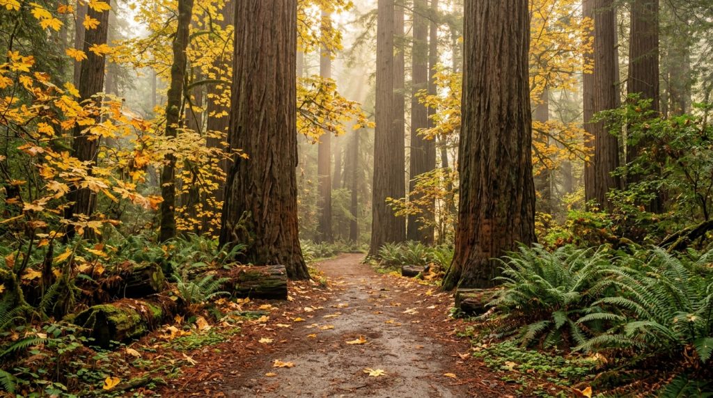
With a flexible plan, Big Sur still delivers what travelers come for: dramatic cliffs, Pacific views, redwood canyons, beaches, bridges, hiking, memorable hotels, and long stretches of road that feel far removed from California’s major cities.
How to Plan a Big Sur Highway 1 Road Trip in 2026
Start by deciding whether Big Sur is your destination or part of a through-drive. Those are not always the same trip. When a portion of Highway 1 is closed, you may still be able to visit accessible parts of Big Sur from one direction without completing the entire coastal route.
Check official Highway 1 conditions before departure
Caltrans is the authority for California state highway conditions. Review current information before leaving and again on the morning of your drive when conditions are active or uncertain.
Do not assume that a route is open simply because your mapping app draws a continuous line through Big Sur. Emergency closures may appear with limited notice, and navigation systems can lag behind changing conditions.
Have a Highway 101 alternative ready
When Highway 1 is not available as a through-route, Highway 101 often becomes the practical north-south alternative between Central Coast regions. Know where you would turn inland before reaching a closure.
A backup plan also prevents travelers from feeling pressured to continue toward an uncertain route late in the day.
Choose fewer Big Sur stops and enjoy them longer
The coastline contains more viewpoints and trail opportunities than most travelers can reasonably fit into one day. Trying to stop at everything creates constant pulling in and out of traffic and leaves little time to experience any one location.
Select several priorities before you leave. Then add additional stops only when time, parking, weather, and road conditions make sense.
Never create your own roadside parking space
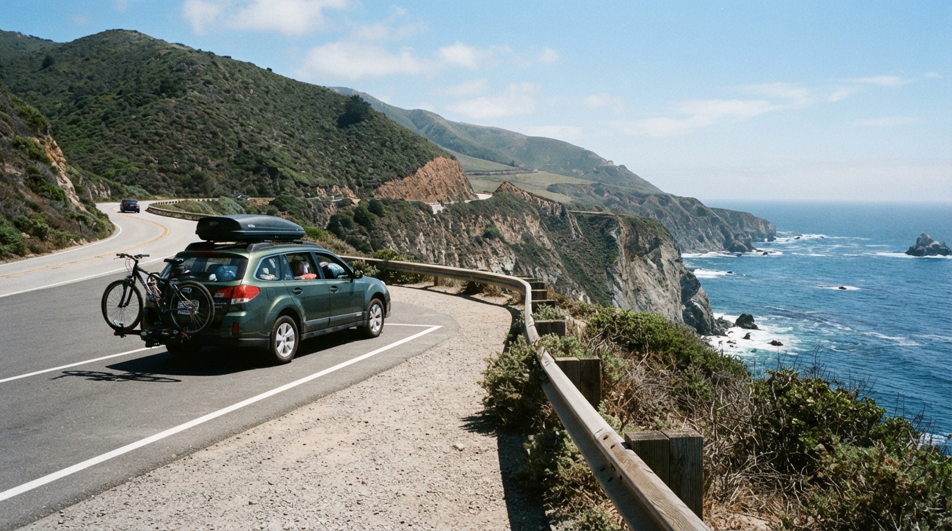
A beautiful view does not make an unsafe shoulder a parking area. Use designated turnouts and legal parking spaces. Avoid stopping where your vehicle obstructs traffic or where opening a door would put passengers close to moving vehicles.
Highway 1 includes narrow sections, blind curves, cyclists, wildlife, large vehicles, and drivers who may be unfamiliar with the road. Give yourself more following distance than you would on an ordinary city street.
Do not underestimate fog and darkness
Coastal fog can reduce visibility, while the road becomes substantially more demanding after dark for drivers unfamiliar with its curves. Whenever possible, schedule the most scenic and complex portions during daylight.
If conditions deteriorate, slow down and be willing to change plans. Missing a viewpoint is better than forcing an itinerary when visibility or road conditions are poor.
Where to Stop and Stay on a Big Sur Road Trip
Big Sur works best when you allow time for the landscape itself rather than treating every stop as an item to complete. A two-day itinerary can be far more enjoyable than attempting the coast in a rushed single day.
Build your itinerary around one or two regions
Travelers approaching from the north can combine Monterey, Carmel-by-the-Sea, and accessible sections of Big Sur. Travelers farther south may build a Central Coast itinerary around San Luis Obispo County, depending on current road access.
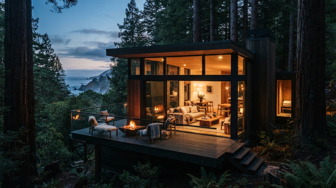
Hotels directly in Big Sur provide an immersive setting, while accommodations in nearby communities can offer more restaurants, services, and price ranges.
Browse our California hotel guides before deciding where to check in.
Respect wildfire and emergency operations
If an area is closed for wildfire response, do not attempt to bypass barriers or use unverified back roads. Closures protect travelers while giving firefighters, emergency personnel, residents, and road crews space to work.
Smoke can also affect areas beyond the immediate fire perimeter. Travelers with respiratory concerns should pay attention to current air-quality information and reconsider outdoor plans when conditions are poor.
For additional driving preparation, visit our Travel Smart section. If you are planning a longer trip, our California road-trip guides include other routes that can be used as alternatives.
You can also connect Big Sur with our California fall getaways guide or the Route 66 California road trip if you are building a longer California itinerary.
The key to a successful Big Sur trip in 2026 is flexibility. Check conditions, use legal parking, avoid rushing, and be prepared to change direction when emergency operations or weather require it.
Highway 1 is memorable precisely because of the landscape it passes through. Treat that landscape—and the road itself—with the respect a remote coastal route deserves.
Before driving, confirm current closures and traffic conditions through Caltrans official Highway 1 travel information.